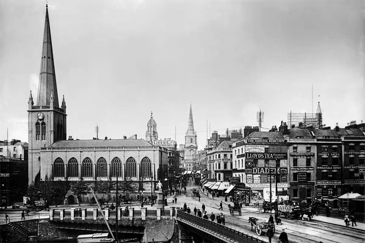
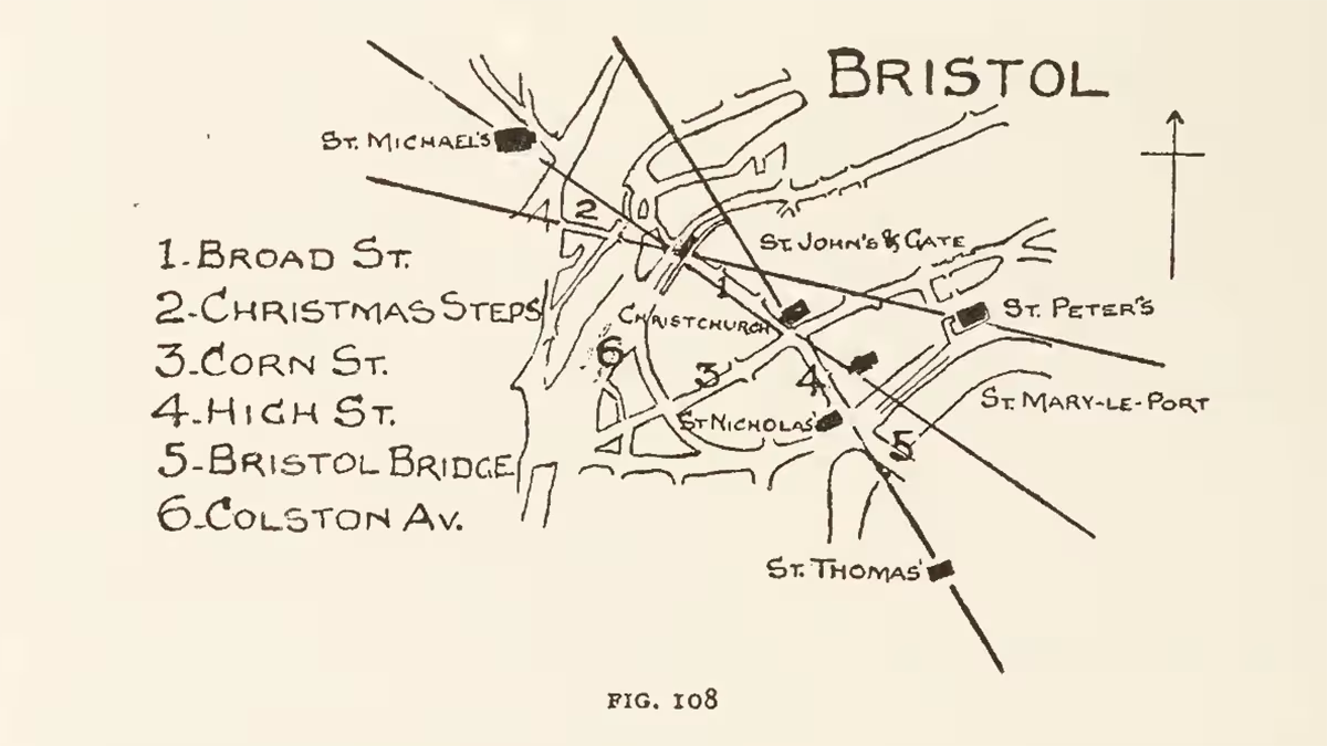

Here is a map created from the one found in Alfred Watkins’ seminal book, The Old Straight Track. It shows how alleyways, bridges, and gateways are aligned towards taller church steeples. I have personally added a line connecting the cathedral to St. Mary Redcliff Church to illustrate how Bristol fits into a much larger network. This line extends to Kilkenny Castle and Cathedral (Ireland) in one direction, and to Bath Abbey in the other.
Image